
Today Sunny |
Wednesday Sunny |
Thursday Sunny |
Friday Sunny |
Saturday Sunny |
Sunday Slight Chance Rain Showers |
Monday Chance Showers And T-Storms |
|
| High: 84 °F | High: 87 °F | High: 89 °F | High: 87 °F | High: 85 °F | High: 82 °F | High: 78 °F | |
Tonight Clear |
Wednesday Night Clear |
Thursday Night Clear |
Friday Night  Mostly Clear |
Saturday Night  Partly Cloudy |
Sunday Night Partly Cloudy then Chance Rain Showers |
Monday Night  Slight Chance Rain Showers then Partly Cloudy |
|
| Low: 49 °F | Low: 52 °F | Low: 51 °F | Low: 50 °F | Low: 52 °F | Low: 50 °F | Low: 50 °F | |
Ben's WX Summary
- Updated: Monday @ 11:21am
High pressure will slowly build over the area this week, leading to warmer temperatures as we experience our 2nd heatwave of the summer season, with temperatures approaching 90 degrees by the middle of the week. High pressure overhead this week will slowly shift over the Four Corners region towards the end of the week, taking on more of an east-west orientation, which is a favorable position to draw monsoon moisture into the region. This could lead to some afternoon thundershowers over the weekend with cooler temps due to the increase in cloud cover and humidity. Expect mostly sunny skies today as highs top out around 80 degrees this afternoon with west to northwest winds 5-10 mph. As the warm-up progresses throughout the week, daytime highs will reach the mid to upper 80s by Wednesday through Friday, while overnight lows cool to the 40s and 50s. An east-to-southeast flow will also develop later this week, drawing mid & upper-level moisture into the region for a few high clouds and some afternoon build-ups. Deeper moisture and better instability could arrive over the weekend, with afternoon thundershowers possible by next week.
| Current Conditions | Wind | Rain | Outlook | ||||||||||||||||||||||||||||||||||||
|
|
|
|
||||||||||||||||||||||||||||||||||||
| Humidity & Barometer | Snowfall | Moon | |||||||||||||||||||||||||||||||||||||
|
|
|
|||||||||||||||||||||||||||||||||||||
| UV Index | Solar Radiation | ||||||||||||||||||||||||||||||||||||||
|
|
||||||||||||||||||||||||||||||||||||||


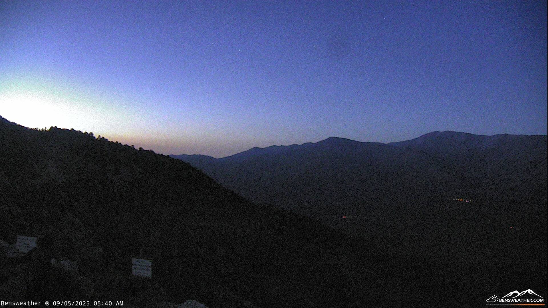
Live Cams