154
FXUS66 KSGX 310356
AFDSGX

Area Forecast Discussion
National Weather Service San Diego CA
856 PM PDT Thu Oct 30 2025

.SYNOPSIS...
Dense fog developing over the coastal areas tonight. Slightly
cooler Friday into the weekend for areas west of the mountains,
though temperatures will remain above normal. The marine layer
will deepen slightly, leading to a better chance of low clouds and
fog each night and morning as well. A trough of low pressure to
the north will move through the region by the middle of next week,
leading to greater cooling across the region.

&&

.DISCUSSION...FOR EXTREME SOUTHWESTERN CALIFORNIA INCLUDING ORANGE...
SAN DIEGO...WESTERN RIVERSIDE AND SOUTHWESTERN SAN BERNARDINO
COUNTIES...

Low clouds and fog have quickly developed across the coastal
waters and locally into the coastal areas this evening. Further
inland, skies remain clear. Visibility will continue to decrease
across the coastal areas as the cloud deck fills in. A weak
coastal eddy tonight will help deepen the marine layer slightly
overnight, with the focus of fog shifting to the higher coastal
terrain and coastal mesas. A Dense Fog Advisory was issued for
both the Orange and San Diego County coastal areas through 9 AM
Friday.

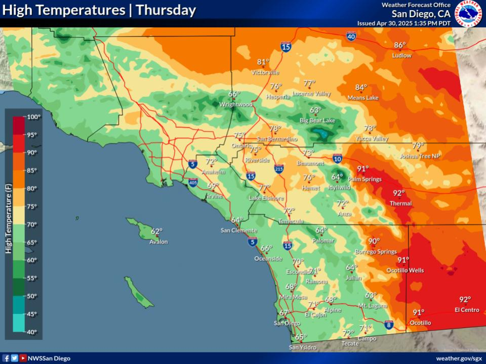
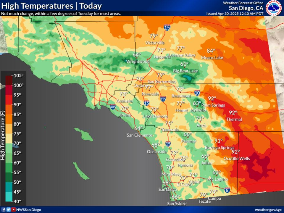
Weak upper level ridging remains over the the region on Friday,
with persistent onshore flow continuing the slight cooling trend
west of the mountains. Highs will return to near normal at the
coast due to the marine layer, but will still be around 5-8
degrees above normal inland. Temperatures Friday evening will be
around the mid 60s-low 70s west of the mountains and in the high
deserts, low 50s-low 60s in the mountains, and upper 70s to low
80s in the low deserts. Low clouds and area of fog return to the
coastal areas Friday evening, creating some eerie trick-or-
treating conditions.

The upper level high amplifies on Saturday with weak offshore flow
redeveloping at the surface. This will bring renewed warming with
highs around 5-10 degrees above normal inland. The ridge axis
shifts eastward and offshore flow weakens and turns back onshore
Sunday, but in general should be another warm day across the
region.

Upper level troughing develops off the West Coast for the early to
middle part of next week. Most of the embedded short waves will
move by to the north early in the week, bringing gradual cooling.
Ensembles are coming into better agreement with the timing of the long
wave trough axis, which is forecast to weaken as it progresses
inland Wed-Thu. A few members from each of the global ensembles
are showing light precipitation over So Cal around Thursday, but
at this time it looks to be very light precipitation out of a deep
marine layer at best.

&&

.AVIATION...
310330Z...Coasts...Patchy low clouds based 100-400ft MSL and patchy
FG are filling in within 5 miles of the coastline. Within the
clouds/FG, VIS generally between 1-5SM with pockets of near zero to
1/4SM visibility. Moderate to high confidence for FG and VIS below
1SM throughout much of the night into early Fri for KSAN and KCRQ.
VIS reductions for KSNA likely begin around 08-10z. While VIS should
improve through the morning, low clouds may linger right along the
coast, possibly impacting KSAN through the morning. Clouds should
generally clear back towards the coast beginning around 17z Fri. Low
cloud with slightly higher bases and FG move onshore 00-02z Sat.

Valleys/Mountains/Deserts...VFR conditions prevail through the
period.

&&

.MARINE...
Patchy fog with visibility below 1 nautical mile at times tonight
into Friday morning over the water. Visibility should begin to
improve Friday afternoon, although the fog may linger into the
evening. Otherwise, no hazardous marine concerns through Monday.

&&

.BEACHES...
A long period (19-21 sec) swell from the southwest (200 degrees)
will arrive Friday and prevail into Sunday, bringing elevated surf
of 3 to 5 feet with locally higher sets on southwest facing beaches.
Surf will gradually fall Sunday into Monday.

&&

.SKYWARN...
Skywarn activation is not requested. However weather spotters are
encouraged to report significant weather conditions.


&&

.SGX WATCHES/WARNINGS/ADVISORIES...
CA...Dense Fog Advisory until 9 AM PDT Friday for San Diego County
     Coastal Areas.

     Dense Fog Advisory until 9 AM PDT Friday for Orange County
     Coastal Areas.

PZ...None.

&&

$$

PUBLIC...SS
AVIATION/MARINE/BEACHES...Westerink
NWS Tucson (SGX) Office
