
| This Afternoon  Sunny |
Saturday Partly Sunny |
Sunday Mostly Sunny |
Monday Sunny |
Tuesday Sunny |
Wednesday Sunny |
Thursday Sunny |
|
| High: 81 °F | High: 76 °F | High: 74 °F | High: 74 °F | High: 74 °F | High: 77 °F | High: 78 °F | |
Tonight Mostly Clear |
Saturday Night  Mostly Cloudy |
Sunday Night  Clear |
Monday Night Mostly Clear |
Tuesday Night Clear |
Wednesday Night Clear |
Thursday Night Clear |
|
| Low: 42 °F | Low: 39 °F | Low: 37 °F | Low: 38 °F | Low: 39 °F | Low: 39 °F | Low: 40 °F | |
Ben's WX Summary
- Updated: Friday @ 09:21am
Low-pressure sliding inland to our north will bring temperatures down a few degrees through the weekend with gusty west winds at times. Temperatures will remain near normal through next week as our forecast stays dry. Expect another fairly warm day today under mostly sunny skies with highs in the lower 80s. West winds increasing 10-20 mph with gusts near 25 mph possible during the afternoon. Clear and breezy tonight as lows cool to the lower 40s. Expect a nice weekend with highs in the mid to upper 70s, cooling slightly on Sunday. Westerly winds will continue 15-25 mph at times. High pressure begins to strengthen again towards the middle of next week for far and warmer weather.
| Current Conditions | Wind | Rain | Outlook | ||||||||||||||||||||||||||||||||||||
|
|
|
|
||||||||||||||||||||||||||||||||||||
| Humidity & Barometer | Snowfall | Moon | |||||||||||||||||||||||||||||||||||||
|
|
|
|||||||||||||||||||||||||||||||||||||
| UV Index | Solar Radiation | ||||||||||||||||||||||||||||||||||||||
|
|
||||||||||||||||||||||||||||||||||||||


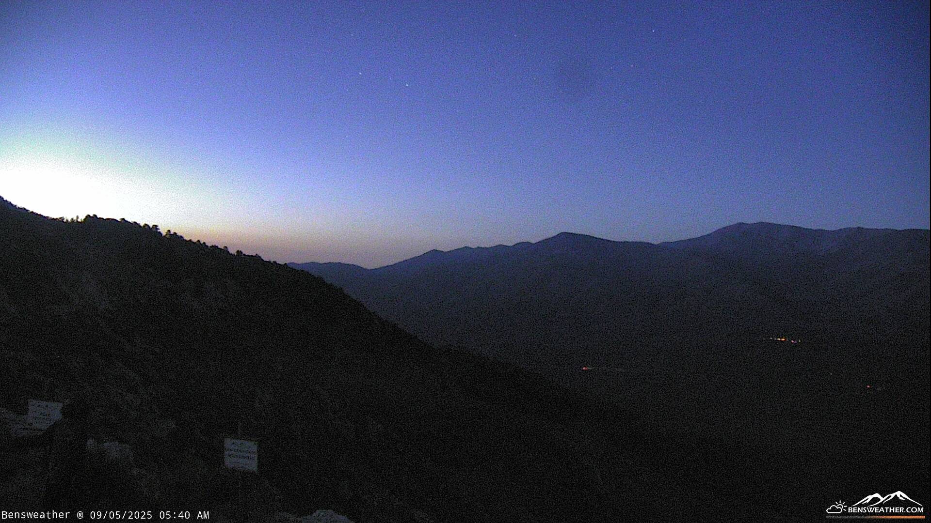
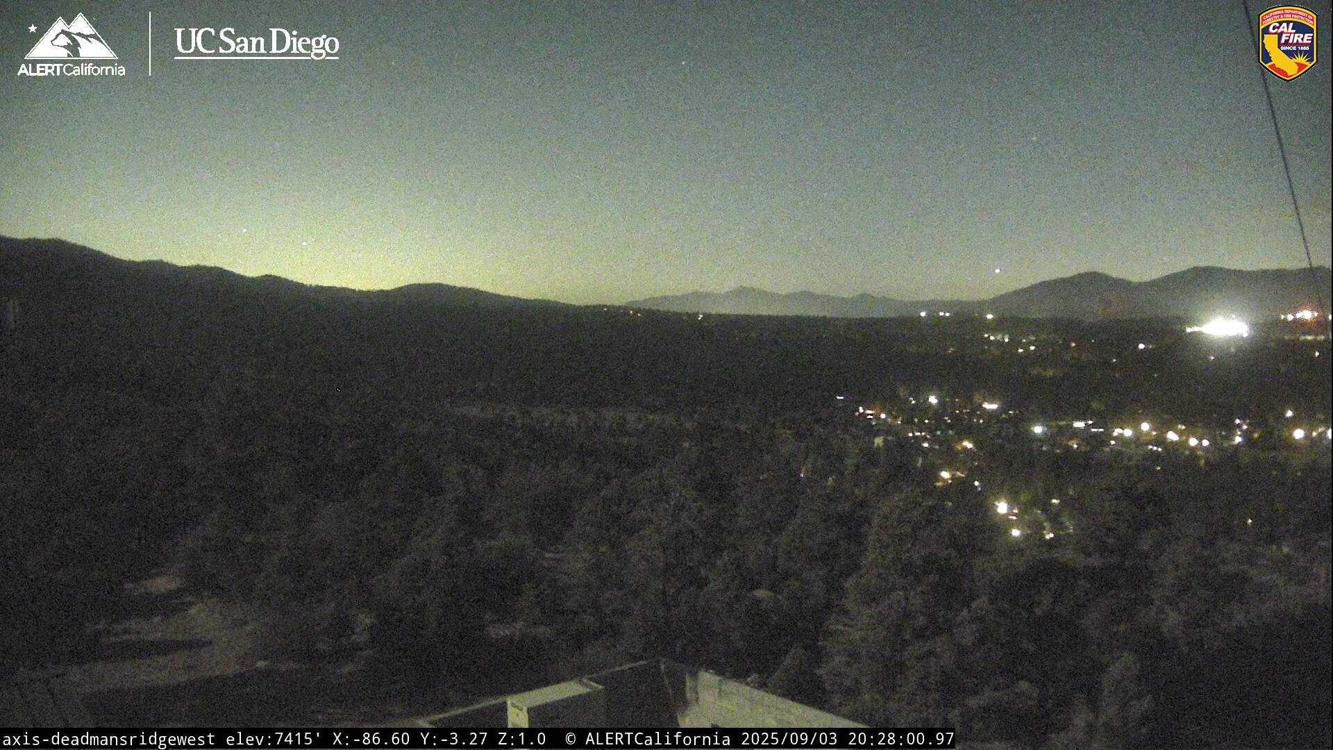
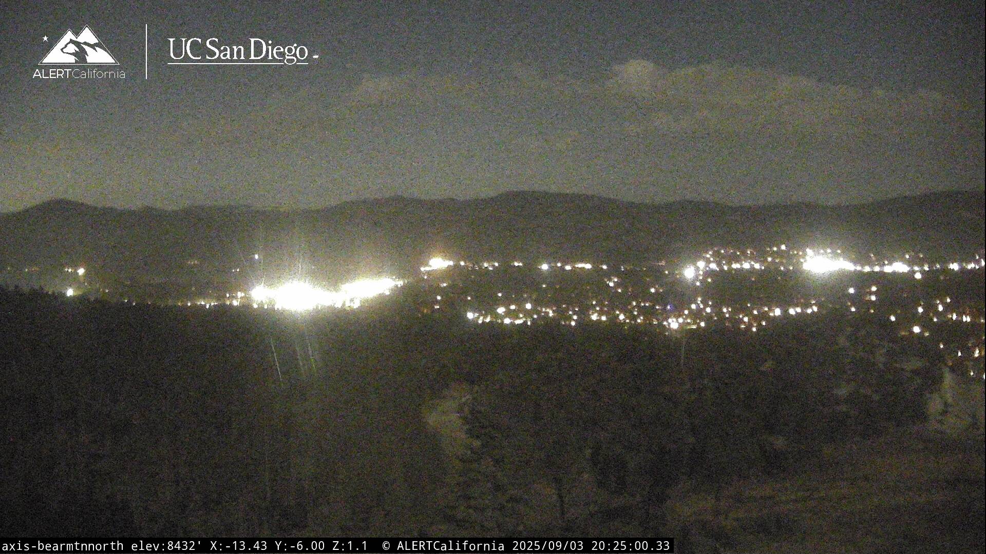
Live Cams